In recent years, property developers have benefitted immensely from leveraging aerial software and technology. If you haven’t already started using it, you may be wondering how aerial software can help in property development?
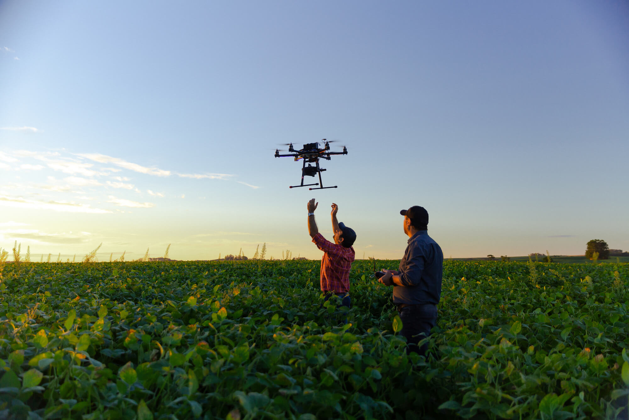
Aerial software can provide access to valuable data and insights which can be used throughout the development process; from preconstruction planning to marketing and sales. Drone technology can be used to obtain aerial imagery, and the accompanying aerial software can be used to create a complete understanding of the property development project.
The Role of Aerial Software and Technology in Property Development
The valuable data extracted through aerial technology is used for various purposes throughout the development process. Let’s discuss how aerial technology helps property development.
Site Valuation and Selection
Drones capture high-resolution aerial images and 3D models, which help property developers gain a comprehensive understanding of a site. This information enables them to analyse transport links, environmental factors, and local amenities to value a property accurately.
Land Surveying and Analysis
Sites used to be surveyed manually, but now drones can gather this data in a fraction of the time. With the correct software, drones capture high-resolution imagery, which helps property developers assess the site’s terrain, contours, dimensions, elevation, and potential challenges.
Stakeholder Engagement and Planning
Stakeholders and investors may not be able to physically visit a site, which is why live-streaming aerial footage through drones is so helpful. This technology allows for virtual site tours to give stakeholders a clearer understanding of proposed developments for improved planning and decision-making.
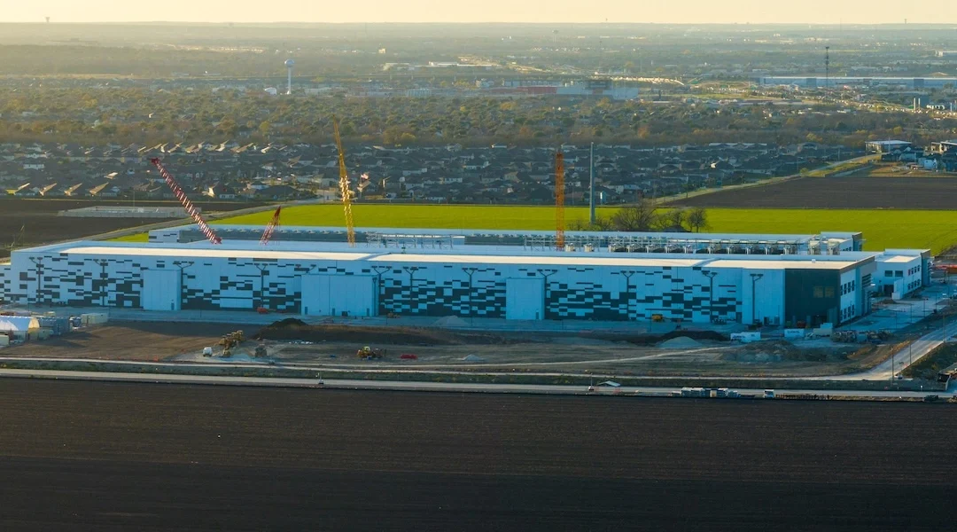
Construction Management
Up-to-date aerial images allow project managers to track progress and identify potential hazards. Ideal for more extensive development sites and remote areas, drones with night vision and thermal imaging can also aid in monitoring sites after hours to detect trespassers and deter vandalism or theft.
Environmental Assessment and Risk Mitigation
Aerial surveys are ideal for gathering information on waterbodies, vegetation, and wildlife to assess potential environmental impact and to ensure compliance with environmental regulations. Environmental assessments also aid in detecting risks such as flooding or erosion to develop risk mitigation strategies.
Imagery Marketing Purposes
Drone tours and flythroughs help showcase properties and development progress for buyers, stakeholders, and investors. Birds-eye view imagery and footage show sites in a captivating manner, which is ideal for property listings, promotional materials, and stakeholder presentations.
Traffic and Infrastructure Analysis
Aerial imagery helps analyse and plan transport, utilities, and drainage infrastructure. Large-scale developments can impact local traffic and infrastructure, so monitoring traffic patterns and assessing road conditions is essential to understanding the potential impacts of a development on the surrounding area.
Thermal Imaging and Energy Assessments for Sustainable Buildings
Drones, equipped with thermal imaging technology, can detect heat variations in buildings. Identifying heat loss and inefficiencies in a building’s design is vital for developing sustainable properties.
Historical Analysis
To redevelop or refurbish historical properties while staying true to the original design, developers must study their intricate architecture. Drone footage allows developers to do this through detailed imagery.
Property Inspections
Rather than conducting on-site inspections requiring scaffolding, harnesses, or cranes, developers can use drones to analyse every detail of a high-rise property or challenging infrastructure. This enables them to find defects or challenges not visible from the ground.
Popular Aerial Software and Their Benefits
Aerial technology and tools are ineffective if you can’t access and analyse the data they produce. There are a variety of aerial software platforms that are ideal for boosting the capabilities of your drone operations.
Pix4D is a photogrammetry software platform which transforms 2D drone imagery into 3D models. Pix4D is ideal for detailed site analysis, progress tracking, and volumetric measurements.
DroneDeploy is a user-friendly cloud-based platform which developers can use to track construction progress and measure stockpiles in real time. It also enables calculation of excavation depths.
Agisoft Metashape allows you to transform aerial images into 3D models for site analysis with a high degree of accuracy.
Autodesk ReCap integrates with other Autodesk products to process drone images and generate 3D models and data, which can be used during a property development project’s design and planning phase.
Propeller Aero offers data visualisation for the construction, mining, and aggregates industries. Property developers use it to monitor stock levels, observe changes, and measure distances and elevations using aerial photos.
SimActive is a fast and precise software with its photogrammetry capabilities. It allows property developers to create accurate 3D models, orthomosaics, and more from satellite, drone, and plane images.
SenseFly eMotion is a user-friendly software for drone flight planning and data management. Property developers use it to plan, simulate, and monitor drone flights to gather necessary data.
OpenDroneMap (ODM) is an open-source solution with tools to transform aerial drone images into 2D maps and 3D models. Being open-source, it is constantly evolving with added features.
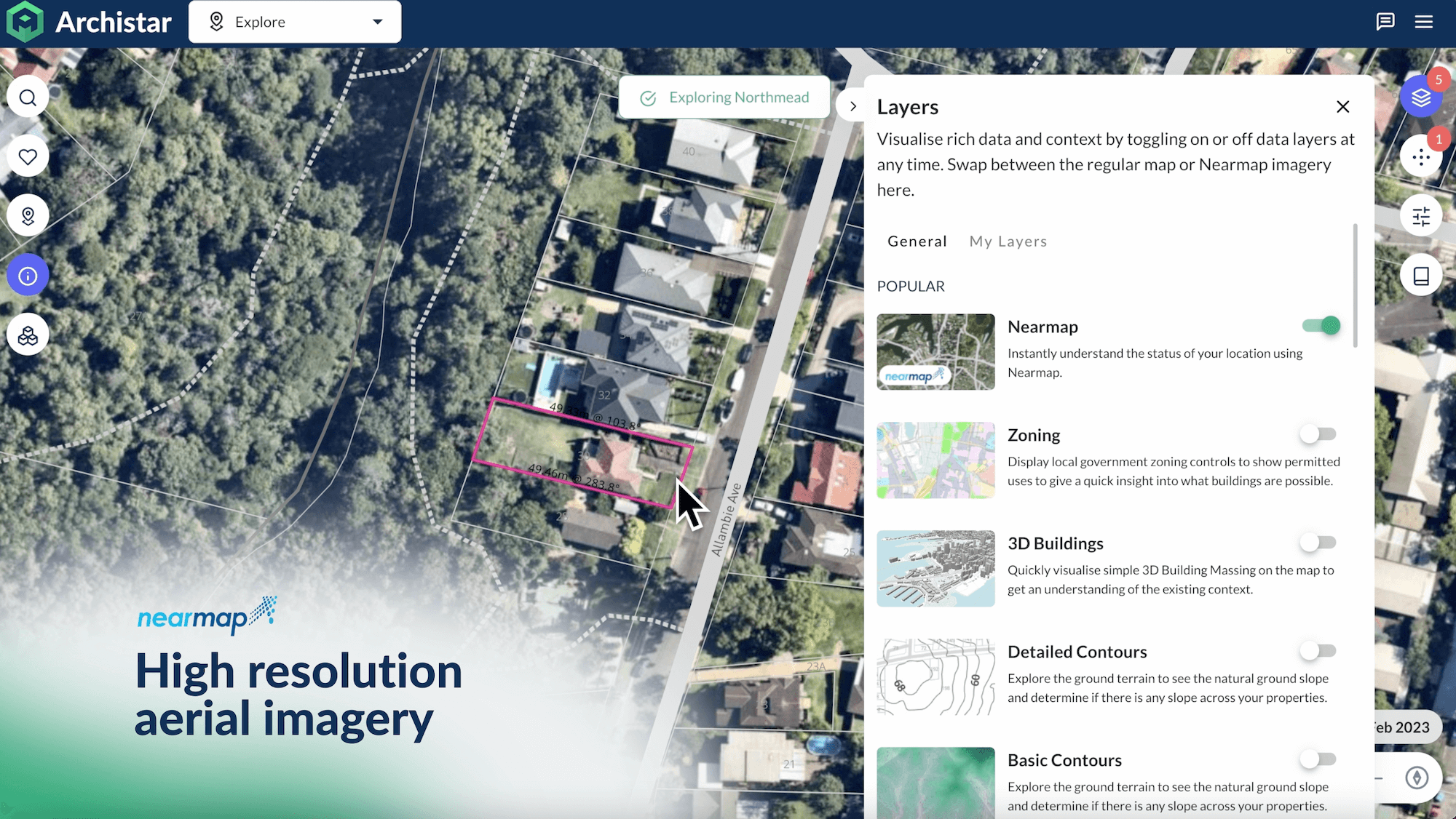
Archistar is a comprehensive property development tool which offers expansive access to hi-resolution aerial imagery, which they access with the help of partners such as Geoscape and Nearmap. The high-res aerial imagery, combined with features like planning data and risk and heritage visual overlays, provides instant access to essential data throughout your development process. This reduces the need for most aerial software and saves you the effort of adopting new technology.
Though you can still use some aerial technology and software to supplement the data you get from Archistar.
Aerial software and technology are continually advancing and are now essential tools. They offer access to vital data, facilitating informed business decisions. For an all-encompassing property development tool, sign up for a free Archistar account to seamlessly access the data you require.