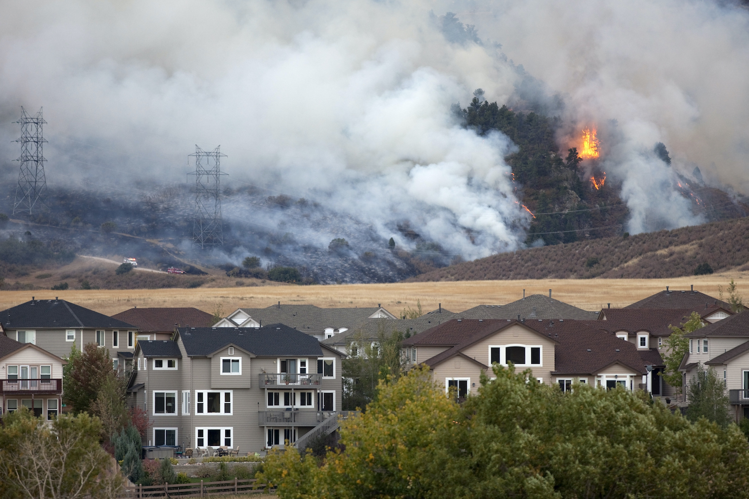
As a property developer in Australia, you sometimes face an intimidating challenge: navigating the threat of bushfires. You might grapple with questions such as “Is my property in a bushfire zone?” or “How do I find out if I’m developing in a bushfire-prone area?”. The gravity of these queries cannot be understated, as they directly influence building regulations, insurance implications, and safety considerations.
This guide aims to demystify the concept of bushfire zones, highlight the steps you can take to figure out if your property falls within one, and outline the impact this may have on your development plans.
Understanding Bushfire Zones
Also known as a Bushfire Prone Area, a bushfire zone is an area or region that has been identified as prone to bushfires. The vegetation, climate conditions, and historical bushfire activity are used to identify these areas.
Each State and Territory has its own system for mapping out these zones, along with regulations relating to developing in these zones. But given the seriousness of the risk, the Australian government also places significant emphasis on protecting properties from bushfires. The Australian standard AS 3959:2018 – Construction of buildings in bushfire prone areas sets out the construction requirements for buildings in bushfire-prone areas. These requirements improve a building’s resistance to bushfire attack from embers, radiant heat, and flame contact.
Identifying Bushfire Prone Areas
There are a few steps you can take as a property developer to identify if your property is in a bushfire prone area:
1. State or Territory Bushfire Prone Maps: Each State or Territory provide comprehensive maps that detail the bushfire prone areas. You will need to refer to the map from the corresponding governing body, depending on where your property is located. These include:
- New South Wales: NSW Rural Fire Service
- Victoria: Department of Planning and Transport
- Queensland: Queensland Fire and Emergency Service
- Western Australia: Department of Fire and Emergency Services
- South Australia: South Australia Government
- Tasmania: Government of Tasmania
- Australian Capital Territory: The ACT Government
2. Local Council Information: Your local council can provide additional information on bushfire zones. They often hold records on whether a property falls within a Bushfire Prone Area and can give insights into local fire management plans.
3. Bushfire Attack Level (BAL) Assessment: A BAL assessment measures a property’s potential exposure to ember attacks, radiant heat, and direct flame contact. It uses factors such as the Fire Danger Index, type of vegetation, distance of the property from the vegetation, and slope of the land. An accredited assessor performs this assessment, providing a detailed report that could reveal whether your property is in a bushfire zone.
4. Archistar Property Platform: The Archistar platform allows you to easily apply visual overlays to maps, enabling you to instantly make informed risk assessments for bushfire and flooding.
The Impact of Bushfire Zones on Property Development
If your property is in a bushfire zone, it can significantly affect your development plans. It means you’ll need to adhere to specific construction standards to enhance the property’s resilience against bushfires. This could increase construction costs, affect insurance premiums, and even influence the long-term viability of the development project.
However, knowing if your property is in a bushfire zone can be advantageous. It means you can plan accordingly, creating designs and structures that are not just compliant with regulations but also safer for future inhabitants. You will also be showing a commitment to safety measures that could potentially enhance the property’s value and appeal.
Understanding bushfire zones and whether your property falls within one is essential for any property developer in Australia. And there are tools available to help you effectively navigate this aspect of property development.
Awareness and preparedness are your allies when developing properties in the unique Australian landscape. Create your free Archistar account to access critical information on any site, helping you easily assess risks and more.


![Rebuilding Los Angeles: One Nonprofit, One County, One Mission [Video]](https://www.archistar.ai/wp-content/uploads/2026/05/Rebuilding-LA_feature-2-1080x675.jpg)
