Archistar eCheck
Fast-track building permit assessment with AI
Archistar eCheck is trusted by municipalities and local governments worldwide


I’m excited to see Los Angeles County embrace innovative technology like Archistar to accelerate the rebuilding process in communities recovering from the Eaton Fire. This AI tool has the potential to save homeowners valuable time
This technology from Archistar is going to be a game changer in the work that we do. It will provide a faster turnaround in building permitting
Accelerated permit processing
eCheck automates a significant portion of the permit assessment process, allowing city planners to handle more cases with minimal re-work – reducing processing times by up to 90%
Improved submission quality
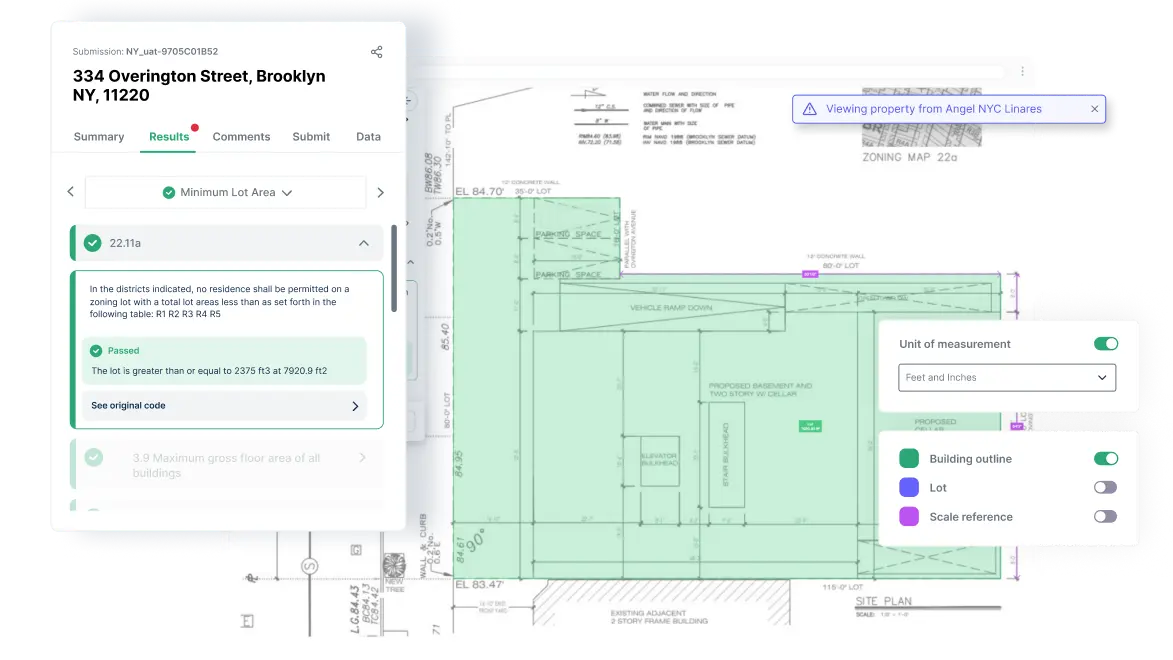
Built on generative AI, computer vision, and machine learning, eCheck automatically checks building designs for code compliance to ensure quality plan submission
Consistent and transparent reports
We ensure a consistent, clear and accurate permit assessment experience every time for both city and industry users.
Integrated solutions
Our software integrates into a range of permit workflow solutions meaning a seamless process for applicants and improved customer satisfaction
Simple digital submission
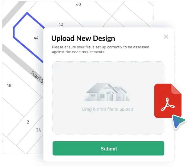
Submitters simply drag-and-drop their design files onto the platform. Compatible with PDF, CAD, or BIM formats, these designs can be reviewed in either 2D or 3D.


Standardised assessment in minutes
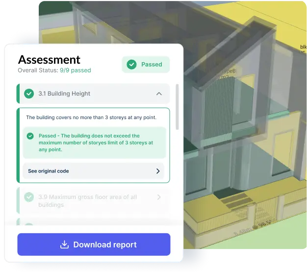
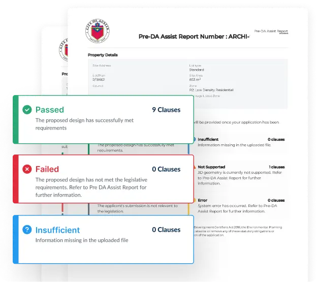
Archistar’s proprietary technology digitally evaluates submissions based on your city’s local codes and regulations, instantly providing ‘pass’ or ‘fail’ results. This enables submitters to quickly review, modify, and resubmit their applications.
Higher quality submissions, faster approvals
Applicants receive standardised reports, enabling the creation of higher-quality final submissions. This facilitates easier assessments and increases the likelihood of approval.

Book a 1-to-1 with us
Receive a live demonstration of eCheck and learn how it is improving the permit assessment process in over 25 cities and local governments across the world.
Begin fast-tracking building approvals in your city and speak directly to our platform specialists
Talk to our specialists


Trusted by


Government
Archistar eCheck uses AI to fast-track development applications by automating compliance checks against planning rules. It delivers instant, visual reports to improve submission quality, reduce government workloads, and speed up approvals.
Industry & Certifiers
Archistar eCheck empowers industry parties such as Developers, Architects, Certifiers and more to assess the compliance of their projects before they submit to their municipality or council.
Revolutionising real estate research & compliance
With over a decade of innovation, research, collaboration, and developing artificial intelligence, Archistar empowers everyone to make confident and compliant property decisions.
Affiliates and Partners


See Archistar in action in your area
Book a free, personalised demo to see how Archistar can work for your city, locality or business


