Land Development Checklist – 3 Points to Focus On
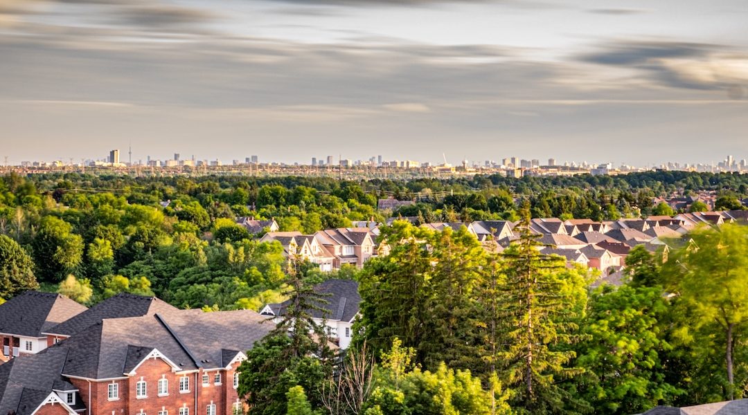
Land development is a start-from-scratch kind of business, and property developers who build on raw, undeveloped land have a few additional procedures to complete. Land development opens up a range of new possibilities, which is why it is so appealing. But, while you may have more freedom, the process is not precisely the same as working with previously developed land. Land development largely hinges on selecting the right piece of land, and there’s a lot to it! With a land development checklist, you will have a clearer idea of what is needed, how to go about it, and what to focus on. What your checklist will look like depends on many variables, but there are three critical points you need to focus on.
What To Consider When Looking for Land
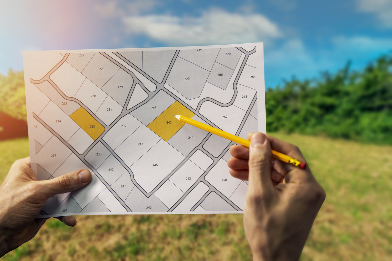
Finding the exact piece of land for your development is a pivotal step. One might even say it’s your first step. Although you will be juggling various other tasks, your feasibility study hinges on finding a piece of land which is based on more than its size and price. There are various important questions to ask before you purchase land.
1. Which government agencies do you need to liaise with?
Each state and territory have different laws and regulations which may affect how land development is dealt with. Local government entities will aid you in understanding which utilities are available and if these utilities need to be extended if they do not already serve the land.
Essential utilities and infrastructure to consider:
- Roads – are they suited to an increase in general and commercial traffic?
- Water connections – can the main water line be extended, and what costs will be incurred?
- Sewerage and wastewater connections – if the land doesn’t have an existing wastewater connection, you may have to pay to extend the connection to the local wastewater system. In some cases, this may not be possible because the system runs on gravity; this would be linked to the local environment and slope of the land.
The best way to find out who to work with for any utility and infrastructure requirements is to contact the local council for the area. The following directories can be used to find the relevant council:
- Council map of Victoria
- Local government directory for NSW
- Local government directory for Queensland
- NT local government areas
- Local council map of WA
- SA councils list and map
- List of Tasmanian councils
This all needs to be factored into your feasibility calculations, and reflected in your due diligence report.
2. How is the land zoned?
Planning rules and land zoning can be one of the trickiest aspects of land and property development. Common zones are residential, commercial, industrial, agricultural and public, but these are further split into sub-categories with specific conditions. So, developing land zoned for residential might see you restricted in terms of minimum lot size or overall density. They don’t only differ from one state to the next but can also be subject to local rules at council level.
By way of example, Victoria reformed their residential zones in 2017 to introduce consistency across all councils. A notable change saw Neighbourhood Residential Zone (NRZ) and the General Residential Zone (GRZ) having a mandatory maximum building height introduced. The Residential Growth Zone (RGZ) does not have a maximum height limit, and this can be set by each council. The only limit for building heights in an RGZ is that it must be at least 13.5 metres. Archistar collects data from more than 25,000 sources, ensuring you always have access to the latest information that can influence which parcel of land you choose to develop.
It’s also important to note that if the land is not zoned to fit your concept, you may want to discuss this with the local council; they may be in the process of rezoning or willing to negotiate.
3. What else do you need to know about the land?
In Australia, various other issues may affect your land choice. The local environment will dictate whether the land is prone to floods, bushfires, and cyclones. Multiple aspects of the land need to be analysed. One must ascertain the slope of the land and note any potential vegetation that may affect the build and design of the project. Pay attention to whether there is any protected vegetation as you may not be allowed to remove it to build.
You can view high-res aerial imagery using Archistar to understand the risks, obstructions, vegetation, and heritage of the land.
Finding the right piece of land is critical in land development. With Archistar, you can find and analyse potential sites, conduct feasibility studies, and even analyse local marketing trends, among many other features. Still not sure if it is the right platform for you? Schedule an online demo to learn more about each feature and see how each can help you with your next land development project.